


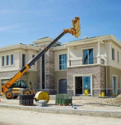


The Choice between a Qualified Professional owned company VS UnQualified Owned Contractor
We have experience with many projects and are not chance takers.
Read more
DEFECTIVE BUILDING DEFECTS
A common risk is the construction/ addition of unauthorized building structures which may add to the structural burden
Read more
Your first building experience?
While you do want the best quality construction, you also want to ensure that every cent you spend is delivering value
Read more
How to choose an Architect in South Africa
Ensure that your chosen Architect keeps you informed as the design process unfolds/progresses and that he or she adheres to the proposed project deliverables or design milestones/timelines.
Read more
The Role of a project manager
The project manager will be responsible for general liason between the field and the architect and owne
Read more
Quantity Surveyor
When you are moving house or thinking of making renovations it is important to always contact a Quantity surveyor to have a look at what you planning. They will come and have a look at the feasibility of a project and acquire paperwork that is needed for the project.
Read more
Building Project Managers
Generally, you will need to speak with a building project manager if you plan to build, extend or renovate your property. Project managers can be architects, interior designers, surveyors, engineers, or project consultants, amongst others. Essentially, the job of a building project manager is to give advice or to undertake tasks that are in relation to the building industry.
Read more
Essential Home Inspections for South African Home Buyers
Don't overlook essential home inspections; ensure safety and compliance when buying in South Africa.
Read more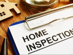
Disclosure of all property defects, New Act
“A professional property inspection will bring peace of mind to buyers and increase trust between buyers, sellers and the agent,” says Tucker.
Read more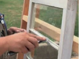
How to Identify Defects in Old Buildings
Old buildings in their glorious times boast of beautifully crafted window panes, blinds, door panels, etc
Read more